




Software Analysis
OdakGIS conducts thorough requirement discovery and high-level business analysis prior to software development. The company provides professional software analysis services to its clients.

Software Design
OdakGIS is a leading provider of web and mobile software design solutions. It provides software technology, data models, and integration designs, as well as contemporary, solution-focused, user-friendly, and successful user interfaces.
Software Development
OdakGIS is a trusted provider of software development services for nationwide automation systems, with a proven track record in web-based, high-capacity projects. It utilizes the most current framework technologies and integrates them into its projects.

Project Management
OdakGIS adheres to the principles of PMI in the management of its projects. It prepares detailed project management plans and follows them, managing projects in a balanced manner across quality, budget, and schedule dimensions.
We enhance national development by leveraging information technology
OdakGIS was founded in 2009 by a team of experts whose extensive experience in software development dates back to the 1990s. Since its inception, our company has embraced an open-source software development strategy and has played a pioneering role in our country’s digital transformation journey.
With its engineering-focused approach, a work culture centered on team spirit, and a humble demeanor, OdakGIS has successfully implemented numerous critical e-transformation projects in both the public and private sectors, achieving sustainable success by deploying the systems it has developed into live operations.
Through large-scale e-government projects and corporate private-sector applications carried out on a national scale, OdakGIS has developed comprehensive solutions that go beyond traditional GIS and CAD approaches. By integrating geographic information systems with business processes, decision-support mechanisms, integration infrastructures, and enterprise management systems, it has delivered lasting value to organizations.
With its open-source technology-based approach, OdakGIS has reduced reliance on licenses, prevented unnecessary costs, and helped organizations use their resources more efficiently. This approach has enabled geographic information systems to expand beyond the scope of specific circles into a broader ecosystem, thereby generating greater value for the country’s IT sector.
The Operational GIS approach developed by our company integrates business process management, decision support systems, deep integration capabilities, and an advanced reporting infrastructure under a single umbrella. Thanks to this approach, geographic information systems have become an integral component of organizations’ core operations.
OdakGIS’s vision is built on a commitment to universal standards, open system architectures, and widely accepted software engineering principles. In line with this, our company advocates for the development of systems that are compliant with international standards, sustainable, and interoperable, and supports the widespread adoption of open standards.
The Operational GIS approach goes beyond the traditional view of geographic information systems as an independent and isolated technology. While supporting the Management Information Systems (MIS), Enterprise Resource Planning (ERP), and corporate management needs of public institutions and private-sector organizations, it integrates spatial data as a natural part of decision-making processes.
OdakGIS views contributing to the development of a new generation of IT professionals as a significant responsibility, going beyond simply being a technology development company. In line with a total quality philosophy, it conducts training and knowledge-sharing activities in the fields of engineering, software development, and management information systems.
By passing on its body of knowledge—which is based on universal standards, adapted to the conditions of our country, and shaped by real-world project experience—to the younger generation, OdakGIS continues to guide the sector’s development and contribute to Turkey’s digital transformation.
Electronic Mortgage Establishment and Real Estate Sale
An electronic mortgage establishment and real estate sale automation integrated with TAKBIS. Perform your transactions digitally and avoid the inconvenience of visiting the land registry office. It is used extensively by banking and financial services organizations.
Electronic Mortgage Release
The mortgage release process is fully integrated with TAKBIS, streamlining operations and ensuring efficiency. Transactions are completed digitally, eliminating the need for in-person visits to the land registry office. This technology is employed by banking institutions and financial organizations.
Expropriation Management Platform
Covers all processes defined under the Expropriation Law. It is utilized by a wide range of entities, including ministries, electricity distribution companies, municipalities, and water and wastewater administrations.
TAKBIS Connector 2
A property inquiry and reporting software integrated with TAKBIS. It is utilized by banking institutions, public entities, and other organizations that have a protocol agreement with the General Directorate of Land Registry and Cadastre.
Yedikule Planning and Permit Automation System
A GIS-based automation system is designed to streamline zoning and building permit processes for municipalities and provincial special administrations. It is made available for use by citizens and contractor companies, ensuring efficient and accessible services.
Project Management Portal | Construction Works Management Automation
A contract management automation for construction works in accordance with Law No. 4735. It facilitates the monitoring of both physical and financial progress, is GIS-based, and integrated with EBYS. The system supports official correspondence and covers processes such as progress payments, work schedules, appropriation management, temporary acceptance, final acceptance, realization tracking, price differences, penalties, deductions, and related procedures.
Public Property Portal
A portal that provides comprehensive coverage of public property management, inventory tracking, allocation procedures, and property transfer processes. With its user-friendly interface, it enables fast access to property information. A GIS-based automation system that supports the management of public land processes, including allocation, leasing, acquisition, compensation for unauthorized use (ecrimisil), exchange, transfer, easement rights, and processes related to Article 5018 summaries.
OdakMobil
Designed for field operations to support the collection, verification, and mobile GIS presentation of geographically and spatially based data. It provides GNSS capabilities with TUTGA integration. Field surveying and mapping activities are carried out using tablets.
We Develop Software
with the Scrum Methodology
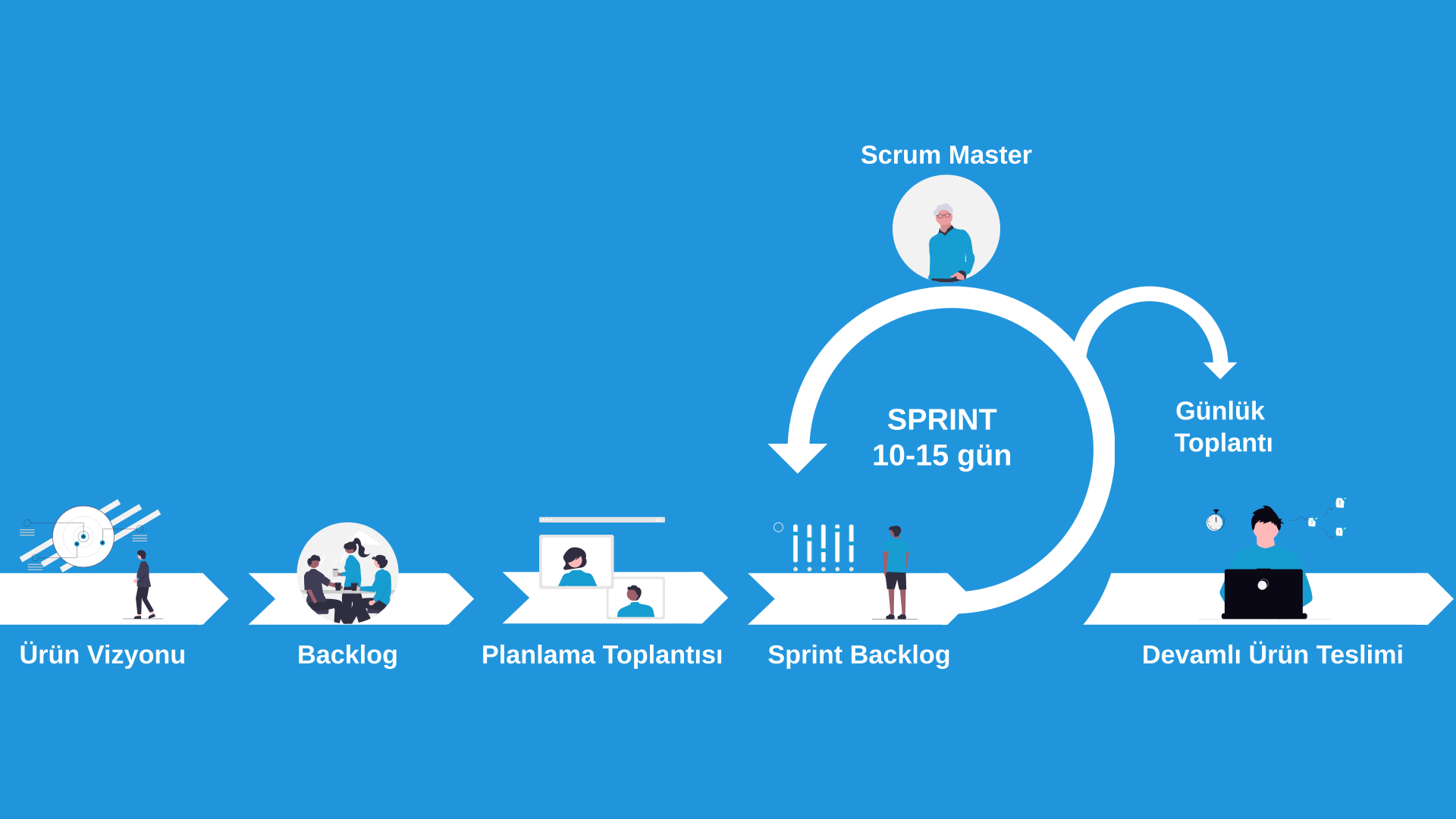
Scrum is one of the agile project management methodologies. It is used to manage complex software processes. To achieve this, it follows an iterative approach that breaks down work into smaller parts. It facilitates the achievement of objectives through systematic feedback and planning. In this regard, it boasts a need-oriented and flexible structure. Its design is informed by customer needs and its evolution is driven by customer feedback.
We Create Workflows
in the Most Efficient Way
01. CONCEPT
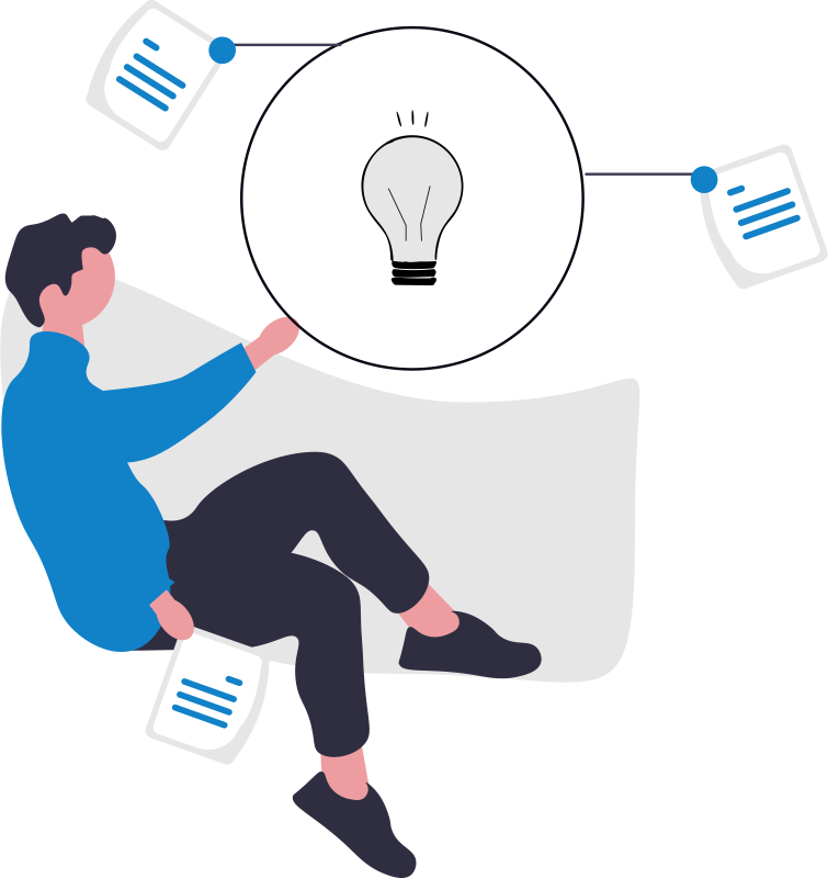
We collaborate with companies that have a concept but require a well-defined strategy and an initial roadmap, with a focus on achieving business objectives through software development and cultivating long-term partnerships.
02. PROTOTYPE
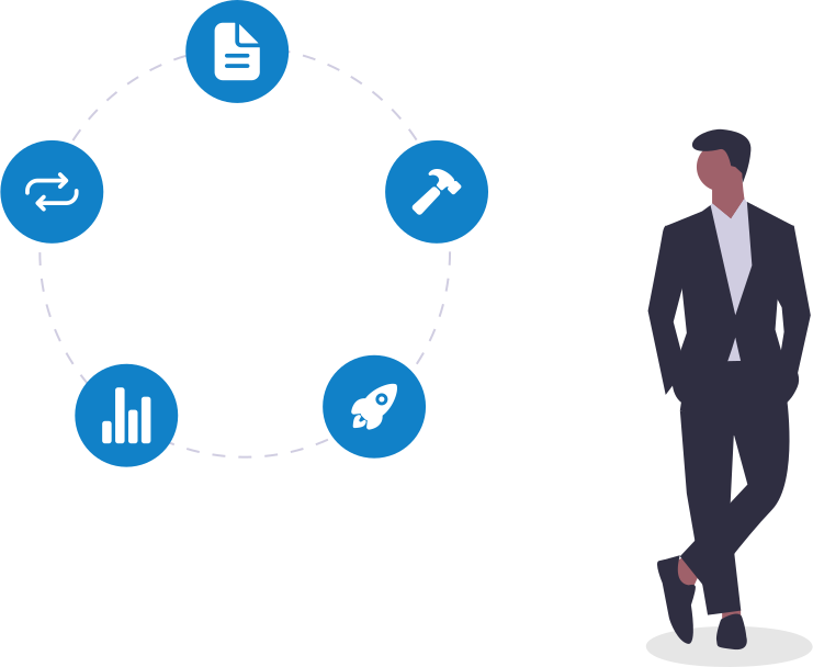
For companies seeking an interactive prototype of their product, we provide an experienced development team that delivers expertise in core functionality and user interface design.

03. MVP
We assist you in developing a core version of your product for presentation to early users and investors. Our experienced development team will accelerate the product development process.
04. FULL PRODUCT
When your product has moved beyond the MVP stage, it is time to build a full version. By analyzing customer feedback, we collaborate with software developers to deliver a fully functional interface.
05. UPDATE
Your product has successfully entered the market with its full version. Your objective is to expand through the implementation of innovative updates and the attraction of new users. Engage a dedicated development team to support the expansion and maintenance of your project.